
The South West Coast Path, one day at a time.
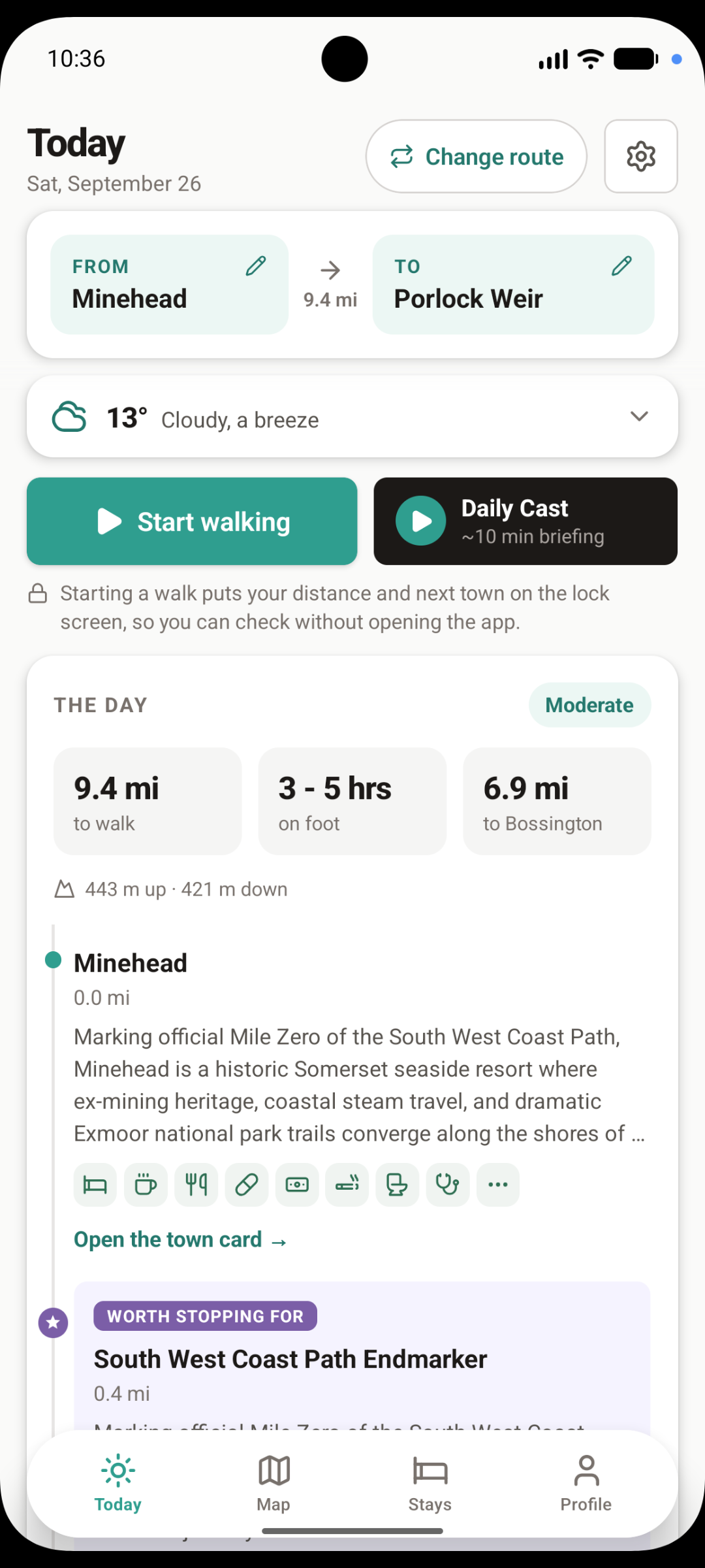
A stage-by-stage guide to Britain's longest National Trail. Pick where you're walking from and to, and the app gives you the day: distance, hours on foot, climb, weather, every town and what's worth stopping for - all of it working offline on the cliffs.
Free to download. Works on iPhone and Android.
What's in the app
Everything you'd want in your pocket between Minehead and Poole.
Stage-by-stage guides
Set your own start and finish for the day. See distance, walking time, ascent and descent, difficulty and every town you'll pass through.
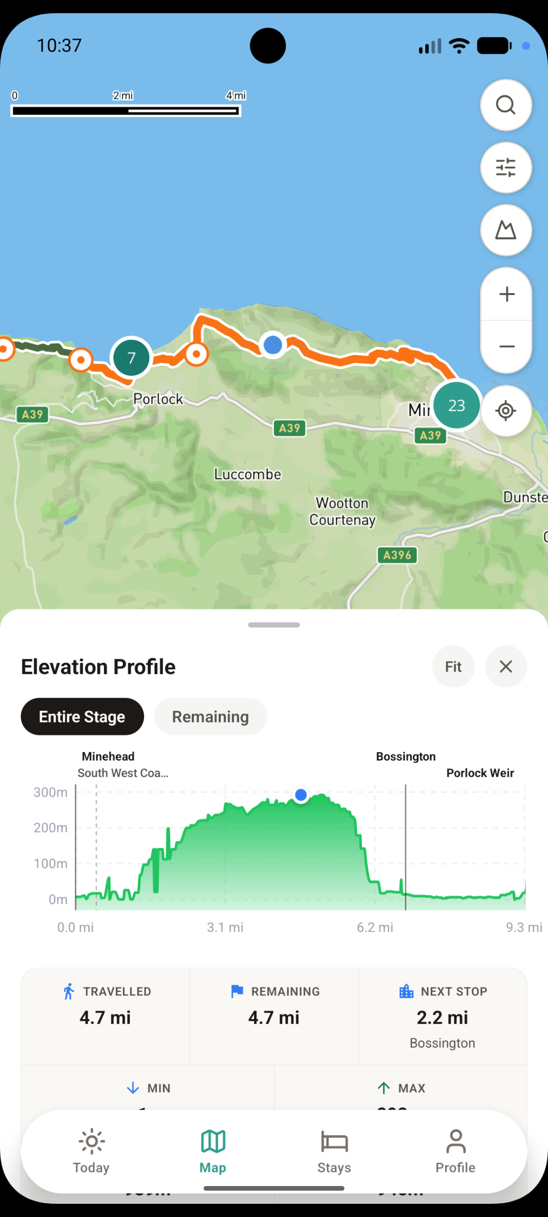
Offline maps
The full route and your position on it, with or without signal. Coastal Cornwall and Devon are patchy - the app doesn't mind.
Elevation profiles
The SWCP climbs the height of Everest four times over. See what's ahead for the whole stage or just what's remaining.
Places to stay
B&Bs, campsites, hostels and pubs with rooms along the trail, shown by town so you can plan each night's stop.
Points of interest & reviews
Castles, beaches, toilets and places worth stopping for with notes from walkers who've been there.
Weather & packing
A forecast for where you'll actually be walking, plus a gear list built for wind, rain and long days on the coast.
On the path
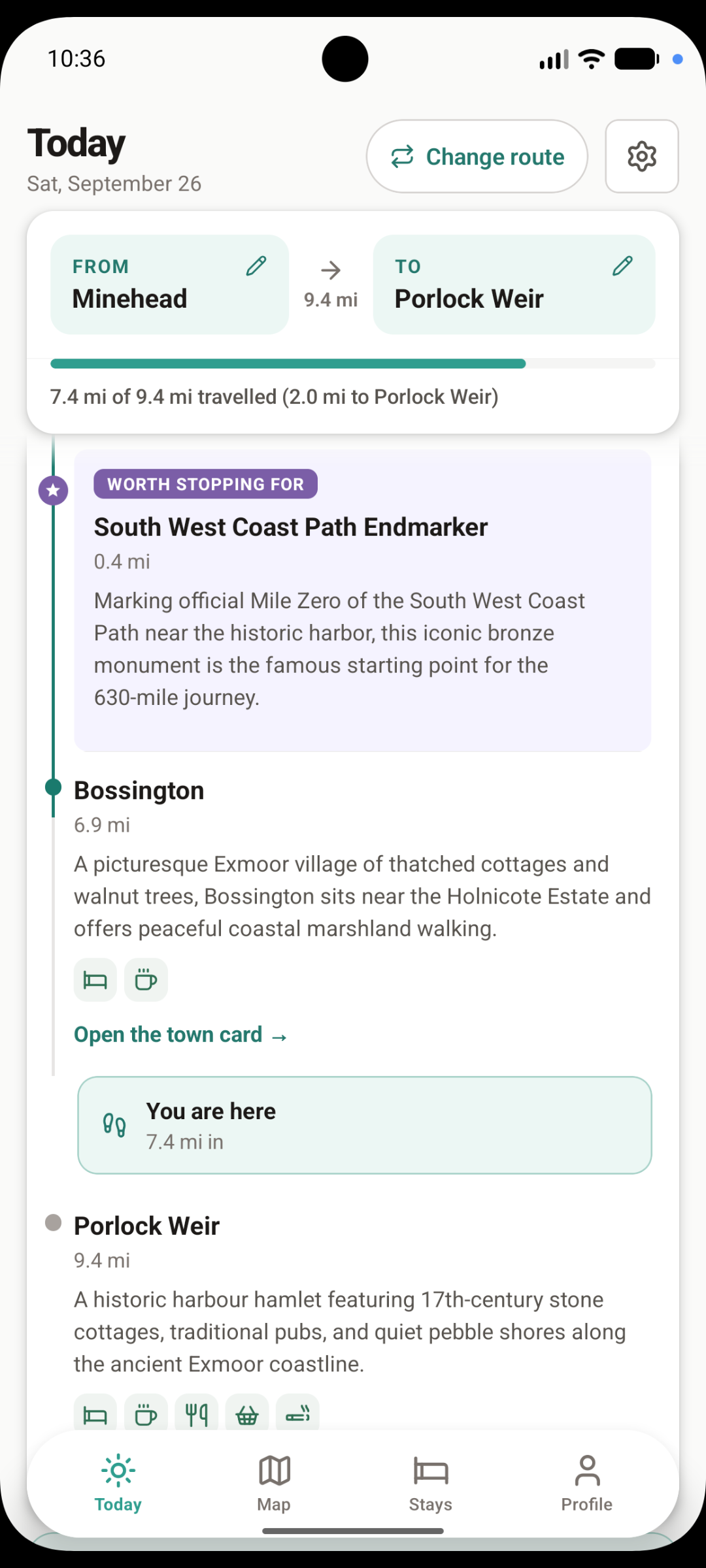
Start walking and the app keeps track.
Miles done, miles to go and your next town on the lock screen - no need to open the app. Every place you pass has a town card with what's there.
Walking the coast path this year?
Download South West Coast Path Guide and plan your first day in a couple of minutes.